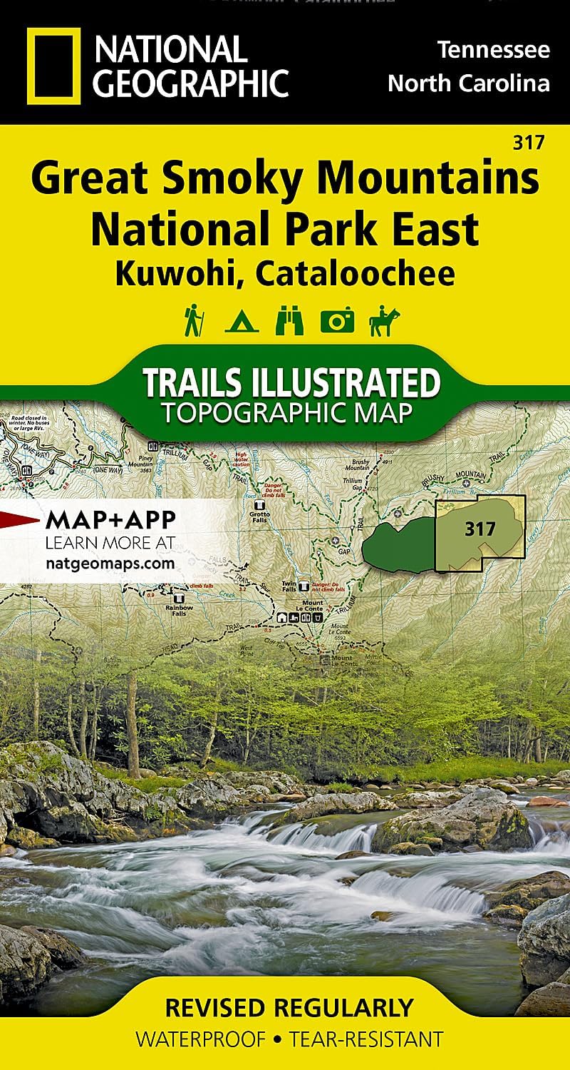


Great Smoky Mountains National Park East: Kuwohi, Cataloochee Map (National Geographic Trails Illustrated Map, 317)
€11.95
35 in stock
Free shipping on orders over €50!
- Satisfaction Guaranteed
- No Hassle Refunds
- Secure Payments
Explore the majestic beauty of Great Smoky Mountains National Park East with the Kuwohi, Cataloochee Map by National Geographic Trails Illustrated Map (No. 317). This detailed and reliable map is your ultimate companion for navigating the diverse terrain and discovering the hidden gems of the park.
Key Features:
– Comprehensive coverage: The map encompasses Kuwohi and Cataloochee areas, providing intricate details of the trails, campgrounds, points of interest, and topographical features.
– Trail guide: Plan your hiking adventures with ease using the clearly marked trails, including their distances and level of difficulty.
– Points of interest: Locate key attractions such as waterfalls, scenic viewpoints, wildlife viewing spots, and historical sites to make the most of your visit.
– Waterproof and tear-resistant: Designed to withstand the rigors of outdoor exploration, ensuring longevity and usability in various weather conditions.
– Detailed topography: Understand the landscape with contour lines, elevations, and shaded relief, enhancing your navigation and orientation.
Whether you are a seasoned hiker, nature enthusiast, or casual visitor, the Kuwohi, Cataloochee Map is an essential tool for immersing yourself in the natural wonders and rich heritage of Great Smoky Mountains National Park East. Plan your next adventure with confidence and precision, and let the map guide you to unforgettable experiences in this iconic wilderness.